
Guide Map Northern Ca Map
MEMBER PRICE $8.45
BECOME A MEMBER
• Waterproof • Tear-Resistant • Travel Map
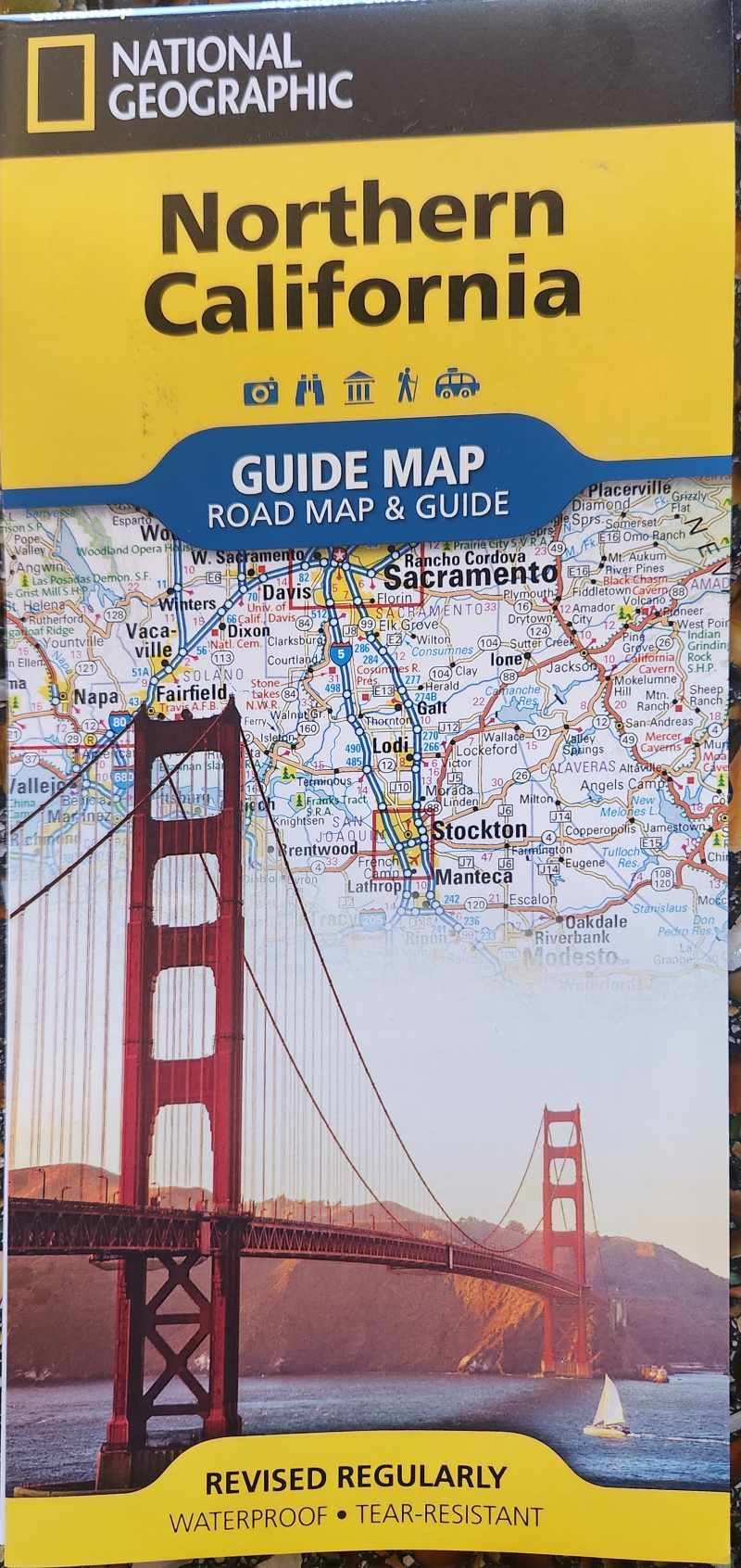
Explore the many diverse recreational activities and attractions in the northern half of "The Golden State" with National Geographic's Northern California Guide Map. A handy combination of map and guidebook, this map is loaded with information on points of interest, San Francisco, and Yosemite National Park. Cities and towns are clearly indicated and easy to find in the user-friendly index. A complete road network of highways, tollways, and other roads, along with distances noted in miles for major highways, will help you find the route that's right for you. Specialty content to include hundreds of diverse and unique recreational, ecological, cultural, and historical destinations, make this map invaluable to travelers hoping to experience all the attractions the state has to offer.
A chart of park service sites and climate information will be particularly helpful to travelers taking in the many outdoor activities in Northern California. Further detail of the region is provided in inset maps of the San Francisco Bay Area, Stockton, Sacramento, Lake Tahoe, and Redwood national and state parks. Whether its marveling at the world's tallest trees, hiking the stunning landscapes of Yosemite, driving the Lost Coast scenic drive along the coast, or exploring the history and culture of the "City by the Bay," this map will prove invaluable in your travels.
Every State Guide Map is printed on durable synthetic paper, making them waterproof, tear-resistant and tough — capable of withstanding the rigors of any kind of travel.
MEMBER PRICE $8.45
BECOME A MEMBER
• Waterproof • Tear-Resistant • Travel Map
Explore the many diverse recreational activities and attractions in the northern half of "The Golden State" with National Geographic's Northern California Guide Map. A handy combination of map and guidebook, this map is loaded with information on points of interest, San Francisco, and Yosemite National Park. Cities and towns are clearly indicated and easy to find in the user-friendly index. A complete road network of highways, tollways, and other roads, along with distances noted in miles for major highways, will help you find the route that's right for you. Specialty content to include hundreds of diverse and unique recreational, ecological, cultural, and historical destinations, make this map invaluable to travelers hoping to experience all the attractions the state has to offer.
A chart of park service sites and climate information will be particularly helpful to travelers taking in the many outdoor activities in Northern California. Further detail of the region is provided in inset maps of the San Francisco Bay Area, Stockton, Sacramento, Lake Tahoe, and Redwood national and state parks. Whether its marveling at the world's tallest trees, hiking the stunning landscapes of Yosemite, driving the Lost Coast scenic drive along the coast, or exploring the history and culture of the "City by the Bay," this map will prove invaluable in your travels.
Every State Guide Map is printed on durable synthetic paper, making them waterproof, tear-resistant and tough — capable of withstanding the rigors of any kind of travel.


